I tend to get on a roll with something...
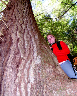
 We also saw several impressive white pines along the way, once we left the vicinity of Griffin. Apparently there was a limit to the good townspeople's willingness to go, cut, and drag logs for lumber. I did notice there weren't many equally-sized hemlocks, so apparently they were willing to traipse out, cut them down, and pile them up for charcoal-making.
 Getting to the confluence seemed to take forever, mostly due to me misjudging the distance on the map. I had glanced and figured about 1 1/2 miles when in fact it was closer to 2 1/2 miles. But finally we made it.
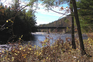 Looking upstream, the going seemed easy enough, but I had no idea how long it would remain that way. The map showed a narrowing ravine only a short way above the confluence.
We headed upstream, and the going was easy enough. We passed two or three camps on the opposite shore, one of them very nicely kept, before heading into the narrower part of the gorge.
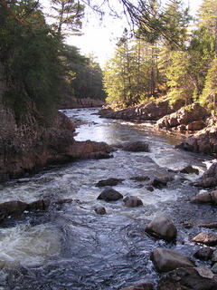
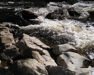
Here, the rapids became undoubtedly beyond my ability to kayak, and at times the shore was tight to the water, and the water so deep and violent that you couldn't wade it.
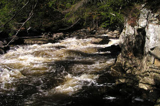 Quicker than I thought we would we arrived at the gorge leading up to Auger Falls. At that point there was no choice but to climb up the bank away from the river, as class IV water ran directly into 30' high sheer cliffs. In no time we were 80' above the river directly: if falling off didn't kill you the ride down the rapids probably would finish the job.
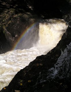
 It's a pretty bizarre place. As we descended back down into the one spot near the base of the falls that was accessible, we noticed a patch of rainbow created by the spray as it floated up into the sunlight. Beautiful!
Postscript (4th October, 2022)
Nice to see little has changed. This is as incomplete as most of my work!
From my memory, the walk back was uneventful. The old roadbed trail is nearly flat, passing through what is typical damp west-central adirondack forest. What I do recall is how nice it was to do this entire hike with my oldest daughter willingly coming along. Our offspring has since spread out around the continent (and at times, the planet), so we get to see them less and less often. Memories like this help when we miss them most.

0 Comments:
Post a Comment
<< Home